Koufonisia
Koufonisia (Greek: Κουφονήσια) is a former community in the Cyclades, Greece. Since the 2011 local government reform it is part of the municipality Naxos and Lesser Cyclades, of which it is a municipal unit.[2] The municipal unit has an area of 26.025 km
History
There are two proposed explanations for the origin of the name of the island. According to the first, Koufonisia was the ancient name of the gulf between Koufonisia and Glaronisi. The full name was "Koufos Limin", which means lee port, where ships can anchor. According to the second version, which is supported by Manesis, this name was chosen because of the large number of caves and sediments that are found on the island. Anthony Miliarakis, in contrast with these two theories, wrote in his book in 1920 that Pano Koufonisi was known as "Fakousa" and Kato Koufonisi as "Pino".
According to archaeological findings, Koufonisia has been inhabited since prehistoric times. Excavations in Epano Mili brought to light evidence that dates back to the first years of Cycladic civilization. One of the most important findings from this period is a fryer-shaped vessel with a nine-ray star on it, exhibited in Naxos’ museum. Excavations on the east shore brought to light remains dating to Hellenistic and Roman times.
In the course of history, Koufonisia followed the fate of the rest of Cyclades islands. They were dominated by the Venetians and the Turks, who, mostly in the 17th century, fought about the governance of the Aegean Sea. Residents of Koufonisia, either because they needed to or because they wanted to, often joined their forces with the residents of Mani or with other pirates, who were using the channel between Pano and Kato Koufonisi as a safe shelter. Koufonisia were set free along with the rest of Cyclades islands and incorporated into the Greek state in 1830.
During the Axis occupation of World War II (1941–1945), the islands’ residents faced difficult times. In the postbellum period, the island had 1000 inhabitants. However, many of them migrated to Athens in order to find a job and many men left the islands to work as grummets. Residents were going to the other Greek islands and the mainland by small boats (caiques) and by a ship that was going to Heraclia every eight days. During those years, there was only one doctor in the Lesser Cyclades and when the weather was bad, he could not travel to Koufonisia.
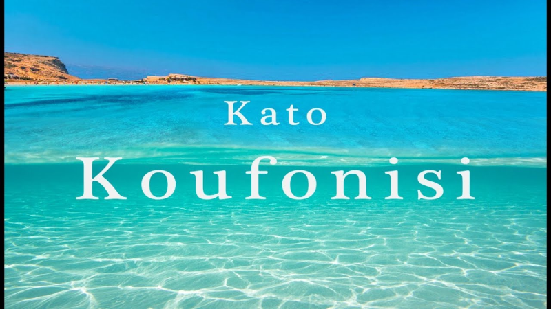
Kato (lower) Koufonisi
Kato Koufonisi is located next to Pano Koufonisi, Shoinousa and Keros. It has an area of 4.3 square kilometres (1.7 sq mi) and it is almost uninhabited, as there are only a few rural houses exist. The most distinctive sight of the island is the small church of Panagia that is built on a jetty, on top of ancient ruins. Only fish and tourist boats anchor in its small port.
Pano Koufonisi or Koufonisi
Pano Koufonisi is the smallest and most densely populated island of the Cycladic island group. It has an area of 5.8 km2 (2 sq mi) and 399 residents (2011).[4] The main occupation of the locals is fishing and, in recent years, tourism. Compared to its population, it has one of the biggest fishing fleets in Greece.[citation needed] The white windmill on the east side of the port can be seen by visitors when they arrive on the island. The settlement of Chora on the southwest coast of Koufonisi is an example of Cycladic architecture.
Source: Wikipedia
The map can be played vanilla (except for the theme) but i highly recommend the 81 tiles mod, Network Extensions 2, move-it and traffic manager.
There are external highway, train, shipping and air connections.
All my maps are free to use by you youtubers, all i’m asking is to link to my workshop in the description. Thanks in advance !
Required items:
Click the title to search on this site.
Owl's Mediterranean Alternative Theme — Steam Workshop


